Some will say it is Pumpkin Spice season, but Floridians could say more it is stalled front season. After all, we enter the season where fronts start to gain a bit more forward speed from the north, but there are still winds that put the brakes on the front, making them stall either over the Peninsula or close enough to bring lots of instability that seem to bring endless rounds of rains.
Florida's rainy season is composed of the rains that come in the summertime or warmer months during the afternoons. These storms are usually developed by the sea breeze after the day's heating. Once we lose the day's heating and the sun starts to set, the energy is gone and storms tend to wind down too. For many parts of the state, especially along the Peninsula, this is when we receive the majority of the annual rainfall. But there is a beginning and end of the warmer months. Usually, in late spring and late summer, the rain periods could be enhanced by the frontal boundary that ends up draped, often for several days nearby or across the state. These stalled fronts interact with the warm and moist environment producing more shower and storm activity, often happening at all hours of the day, intermittently. Stalled front tend to drastically increase the threat of flash floods, more so if we've had a wet summer already.

Do you notice what has been happening? We had a tropical wave move through the state during the week, but this week there is a front that will be parked just over North Florida and the Panhandle, so the instability didn't just exit swiftly away from the state. We will remain under mostly cloudy skies, for the most part, and increased rain and storm activity.
How much rain?
Rainfall totals between Tuesday and next Tuesday could range between 5 and 7 inches across parts of the Panhandle and North Florida. There could be large variations between where the stall front parks and areas just to the north and south of it. But overall the largest amounts will fall where the front is mostly parked and to the south, while areas north of the front will tend to be drier. Remember to turn around, don't drown.

There won't be much movement of this front that will barely move between North and Central Florida all week. On Saturday, there seems to be an extra push from the next front coming to the South, but once again, it loses forward speed, becoming stationary likely for the beginning of next week. So keep the umbrella handy, and have alternate plans if you have activities outdoors. They could quickly get soaked!
Another key point to keep in mind
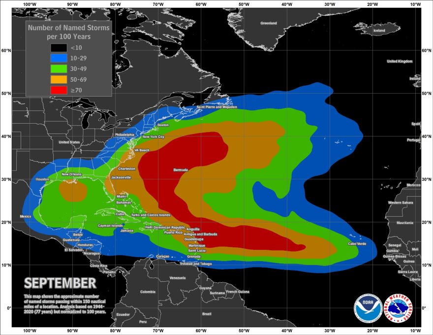
Just like at the beginning of hurricane season, when there are still fronts dragging south and could leave enough energy behind to form tropical systems near shore, the same situation and setup is possible in the early fall weeks.

The tropical pattern starts to shift, and we shift our eyes to regions closer to the Americas where fronts could also leave behind enough energy to develop quick-hitting storms. Yes, tropical season might have been put on pause, but it is not over yet. We are still halfway there and a system that develops closer to land means less time to prepare. So make sure to stay informed and follow the weather closely.

