-
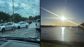 A weak cold front will lower rain chances and also bring slightlly lower humidity values for much of Florida for part of this week.
 -
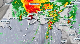 Damaging winds, tornadoes, and flash flood risk will continue throughout the weekend across the Southeast into the Mid-Atlantic.
 -
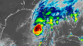 Landfalling tropical systems have a history of producing tornadoes, but the atmospheric ingredients around Isaias appear conducive for tornadic supercells
 -
 Isaias strengthened into a Category 3 hurricane on Friday and is expected to make landfall near Pensacola by Saturday morning.
 -
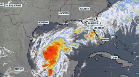 Tropical Storm Isaias is expected strengthen into a Category 2 hurricane on Friday. The cyclone is headed towards the northern Gulf but moisture will impact much of Florida.
 -
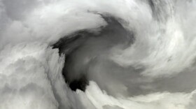 Gov. Ron DeSantis declared a state of emergency for 25 counties, including Leon and Bay. Tropical Storm Isaias could hit the western panhandle by the weekend.
 -
 Even with the latest activity in the Gulf with Tropical Storm Isaias, it's been a quiet Atlantic hurricane season so far, which is typical for the El Niño climate pattern we're in right now.
 -
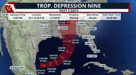 Florida faces continued heavy rain and flooding concerns as the strengthening tropical system moves toward the northern Gulf Coast.
 -
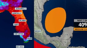 Gradual development is possible, but it will likely take the whole week for anything to take shape. Rain across Florida this week is due to a front and local effects.
 -
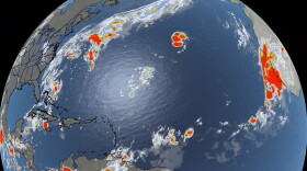 Tropical Storm Gonzalo formed in the far eastern Atlantic near the Cabo Verde Islands, but the cyclone is not expected to become a hurricane.

© 2026 WFSU Public Media
WFSU News · Tallahassee · Panama City · Thomasville
Play Live Radio
Next Up:
0:00
0:00
Available On Air Stations


